


Posted on September 13, 2026 by Gareth Mannion
There is a version of this ride that exists in the forecast: sixty riders, sixty miles of Suches backroads, a lunch and an auction at the end of it, all for a good cause. Then there is the version that actually happened on September 12th, when the rain started the moment kickstands went up outside MotoWorks and didn’t let go until the last bike rolled back in. Fifty-four riders looked at that forecast and stayed home. Six of us didn’t, and rode the full sixty miles anyway — for the chimps.
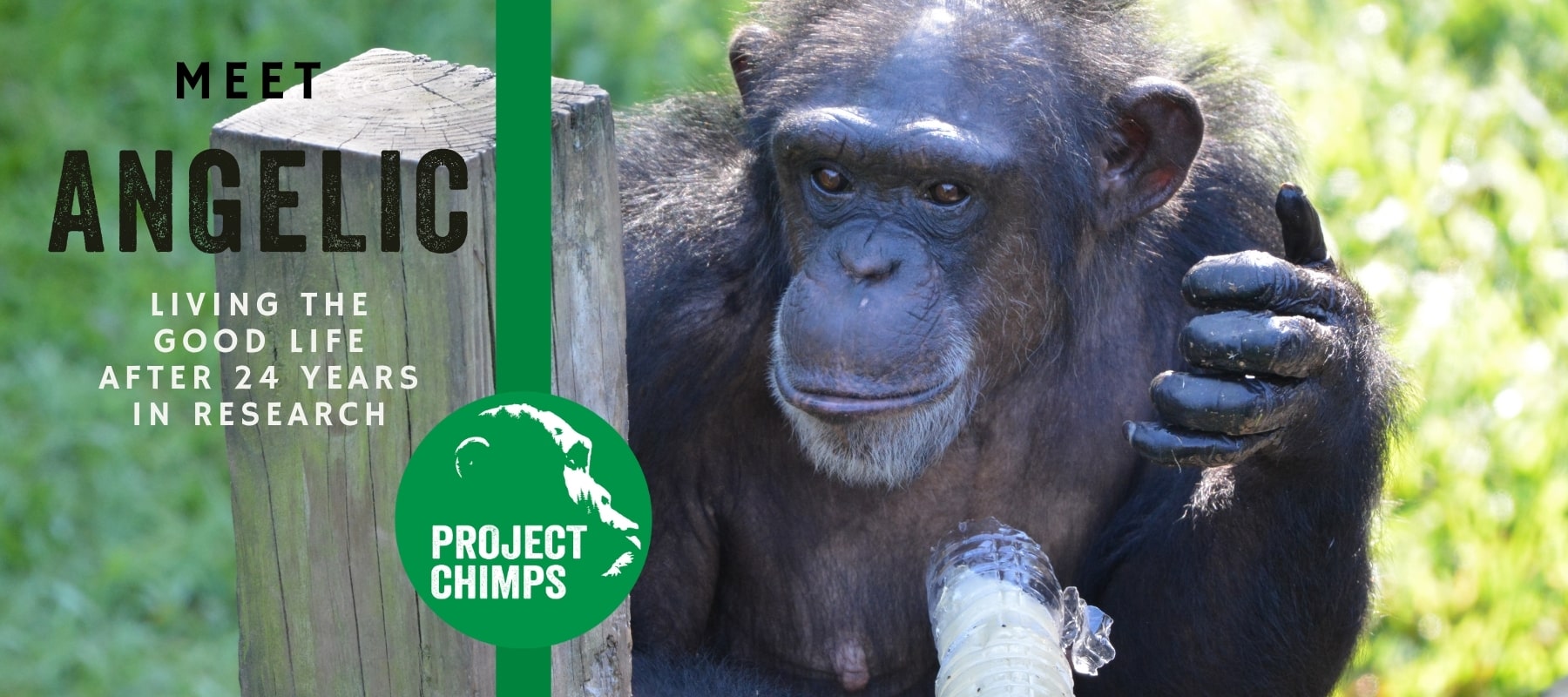
Choppers for Chimps is a charity ride hosted by MotoWorks in Blairsville, Georgia, benefiting Project Chimps, a sanctuary for more than 100 former research chimpanzees in the Blue Ridge Mountains outside Morganton. This is the ride that got us soaked, climbed, and came home smiling anyway.
Having Problems Playing? Open Player in New Window
🎥 A Quick Note on the 360° View
This was filmed in full 360°, so you can drag the view anywhere — up at the ridgeline, down at the wet pavement, or back over your shoulder at the riders behind you. The rounded, fisheye stretch at the edges of the frame is normal for a 360° camera and not a lens problem. Expect rain streaking across the lens through most of this one — that’s not a defect either, that’s just what Choppers for Chimps looked like this year.
Factor Ratings
Leg 1 — Into Suches over RBR


Leg 2 — Back to MotoWorks


BEARFACTOR — WILD ANIMALS POSSIBLE
Route Stats
- Distance: ~60 miles (60.0 mi advertised; 52.24 mi GPX-logged across both legs)
- Max elevation: 3,246 ft
- Total climb: ~6,470 ft combined
- Route: Loop from MotoWorks, Blairsville, GA, out through Suches and back
- Character: Rolling mountain loop, wet and low-visibility this year, moderate elevation throughout
The Ride, Leg by Leg
Leg 1 — Into Suches
The route rolls out from MotoWorks and climbs almost immediately, working up through the folds of the Chattahoochee National Forest toward Suches. This is the long leg — 40.59 miles of it — and it does the bulk of the day’s climbing, topping out at 3,236 feet with 4,745 feet of total climb along the way. In dry weather this stretch is a string of sweepers through cattle country and forest; in the rain it was a steady, deliberate grind, six bikes in a line, everyone reading the pavement instead of the scenery.
Leg 2 — The Return
The return leg is shorter at 11.65 miles but doesn’t let up on elevation, nudging up to the day’s high point of 3,246 feet before dropping back down toward Blairsville. The climbing per mile is actually steeper here than on the way out, which made for a good gut check at the end of a wet 50 miles. By the time MotoWorks came back into view, the rain was finally starting to let up — almost exactly on schedule with the ride itself.
Project Chimps: Who We Rode For
Tucked into the Blue Ridge Mountains outside Morganton, Georgia, Project Chimps is a 230-plus acre sanctuary home to more than 100 former research chimpanzees. Most came from the New Iberia Research Center, once the largest privately-held population of research chimps in the world, re-homed after chimpanzees were listed under the Endangered Species Act in 2015 and lab research on them in the US came to an end. Project Chimps is accredited by the Global Federation of Animal Sanctuaries and rated 4 stars by Charity Navigator, and it’s working toward permanent sanctuary for as many as 150 chimps.
A Sanctuary, Not a Zoo
Project Chimps isn’t a walk-up attraction. Access is by private tour or special event only, which is exactly why rides like Choppers for Chimps matter — they let supporters put money behind the mission without ever needing to set foot on the property. Every dollar from the ride’s registration, lunch, and auction goes toward the daily cost of caring for chimps that spent their early lives in labs and are now, finally, just left alone to climb a tree.
⚠️ Pro Tips & Safety
- This is a BearFactor route — wildlife is active in the Suches backcountry, so stay alert at dawn/dusk and on the more forested stretches.
- Both legs top out above 3,200 feet with a PeakFactor 5 rating — wet pavement on mountain grades demands a slower pace and more following distance than you’d run in the dry.
- Suches sits in cattle and open-range country; CowFactor 3 on the outbound leg means livestock encounters are a real possibility, not just a theme.
- Fuel up in Blairsville before you roll out — services thin out fast once you’re in the Suches backcountry.
- Charity ride days often mean local Sheriff’s Department traffic control at key intersections — follow their direction, they’re out there for you.
Worth a Stop
Editorial Destination
Memaw’s Country Store & Ice Cream
Right next door to MotoWorks, Memaw’s is a CowFactor favorite for a reason — the kind of stop you make even when you’re soaked through and just want something warm before you head home. MotoWorks and Memaw’s both did an excellent job hosting this event, rain or not.
More CowFactor Rides
If you liked this wet-weather mountain loop, roll through more of our North Georgia and Southern Appalachian routes:
- Cowmute: Blairsville → The Ridges Resort → MotoWorks — a two-personality North Georgia loop.
- Cherohala Skyway — the $100-million scenic byway from Tellico Plains to Robbinsville.
- Mount Mitchell: 6,684 Feet to the Top of the East — another PeakFactor 5 climb, this one to the highest point east of the Mississippi.
Filmed in 360° with the Insta360 X4 & X5 · Produced by SugarFree Productions LLC for CowFactor
#ChoppersForChimps #ProjectChimps #CowFactor #MotorcycleTouring #NorthGeorgiaRiding #CharityRide #360Video #PeakFactor5 #BlueRidgeMountains #TwistiesAndTwoWheels

